She Was Told to Stay Home. She Mapped the Ocean Floor Instead.
The Map That Moved Mountains
In 1952, Marie Tharp sat at a cluttered desk in a cramped office at Columbia University, surrounded by towers of data that most people would have dismissed as meaningless squiggles. The sonar readings came from research ships crisscrossing the Atlantic Ocean, vessels she was forbidden to board because of an unwritten rule that women brought bad luck to scientific expeditions. While her male colleagues sailed the seas collecting glory and seasickness in equal measure, Tharp was stuck in New York, translating numbers into pictures.
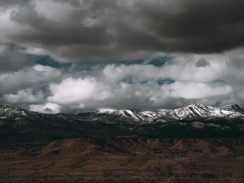
 Photo: Atlantic Ocean, via c8.alamy.com
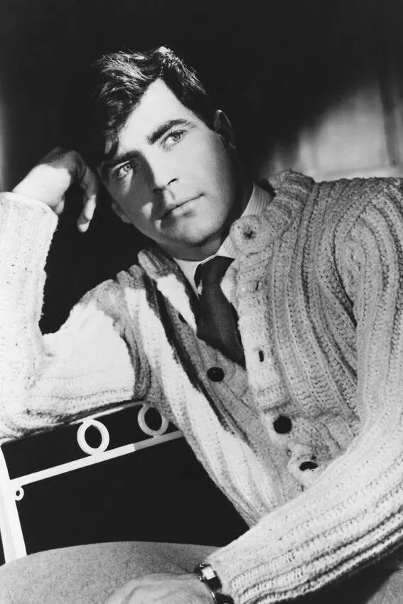
 Photo: Marie Tharp, via i.etsystatic.com
It was the perfect punishment for someone who just wanted to do science. It was also the perfect position to revolutionize how humanity understood the planet.
What Tharp discovered in those squiggles would shatter the scientific consensus and redraw the map of Earth itself. She found mountains where everyone expected flat plains, valleys that split continents, and evidence for a theory so radical that her own colleagues dismissed it as "girl talk." Her crime? Suggesting that the continents actually moved.
Drawing Outside the Lines
Tharp never intended to become a geological revolutionary. Growing up in Michigan during the Depression, she watched her father work as a soil surveyor, making maps of farmland for the Department of Agriculture. It was precise, methodical work that required translating abstract measurements into visual reality—skills that would prove more valuable than anyone imagined.
After earning degrees in English and mathematics, Tharp found herself in New York in the late 1940s, when the city was buzzing with post-war optimism and scientific ambition. Columbia University's Lamont Geological Observatory was launching an ambitious project to map the ocean floor using new sonar technology, and they needed someone with mathematical precision and artistic skill to turn acoustic data into visual maps.
They also needed someone willing to work for less money and less recognition than their male counterparts. Tharp fit the bill perfectly.
The Forbidden Voyages
The irony was exquisite: the most important oceanographic discoveries of the 20th century were made by someone who couldn't set foot on an oceanographic research vessel. Navy regulations and scientific superstition combined to keep women off research ships, supposedly because their presence would distract the crew and anger the sea gods.
So while Bruce Heezen and other male scientists sailed across the Atlantic, dropping depth charges and recording the echoes that bounced back from the ocean floor, Tharp remained landlocked in Manhattan. The men collected data; she made sense of it. They got seasick and sunburned; she got eyestrain and paper cuts. They received the speaking invitations and job offers; she received boxes of sonar readings that looked like abstract art.
But Tharp had something her seafaring colleagues lacked: the time and focus to see patterns in the chaos. While they were dealing with equipment failures and rough seas, she was developing an almost mystical ability to read the language of the deep ocean.
Mountains in the Deep
The breakthrough came gradually, one data point at a time. As Tharp plotted the sonar readings on graph paper, she began to notice something extraordinary: a continuous mountain range running down the center of the Atlantic Ocean, stretching from the Arctic to the Antarctic. This wasn't just any mountain range—it was a rift valley, a crack in the Earth's crust that suggested something profound about how the planet worked.
When Tharp showed her preliminary maps to Heezen, his reaction was swift and dismissive: "It looks like continental drift, and I don't believe in continental drift." The theory that continents could move across the Earth's surface had been proposed decades earlier by Alfred Wegener, but it had been thoroughly discredited by the scientific establishment. Serious scientists didn't believe in drifting continents any more than they believed in flying carpets.
But Tharp's maps kept telling the same story. The Mid-Atlantic Ridge wasn't just a mountain range—it was a seam where new ocean floor was being created, pushing the continents apart like a slow-motion explosion that had been running for millions of years.
The Evidence They Couldn't Ignore
Tharp knew that extraordinary claims required extraordinary evidence, so she kept refining her maps, incorporating new data, and checking her calculations. She plotted earthquake epicenters and found they lined up perfectly with her underwater mountain ranges. She traced the ridge system around the globe and found it connected to similar features in the Pacific and Indian Oceans.
By the late 1950s, Tharp had created the first comprehensive map of the ocean floor, revealing a hidden landscape more dramatic than any mountain range on land. Her maps showed underwater canyons deeper than the Grand Canyon, mountain chains longer than the Himalayas, and a global system of ridges and trenches that told the story of a dynamic, ever-changing planet.
The scientific community's resistance began to crack when other researchers confirmed Tharp's findings using independent methods. The theory of plate tectonics—the idea that the Earth's surface consists of moving plates that create and destroy ocean floor—became the organizing principle of modern geology. And it all started with a woman who wasn't allowed on the ships that collected the data.
The Map That Changed Everything
Tharp's masterpiece was the 1977 World Ocean Floor map, created in collaboration with Austrian landscape painter Heinrich Berann. The map combined scientific precision with artistic beauty, showing the ocean floor as a vast, three-dimensional landscape of mountains, valleys, and plains. For the first time, ordinary people could see the hidden world beneath the waves.
The map became one of the most widely reproduced scientific illustrations of all time, hanging in classrooms, offices, and homes around the world. It fundamentally changed how humans understood their planet, revealing Earth as a dynamic system where continents drift, oceans expand and contract, and the ground beneath our feet is constantly in motion.
The Revolutionary Who Stayed Home
By the time Tharp received full recognition for her contributions to geology, she had already revolutionized the field from her desk in New York. She never did get to sail on those research vessels—by the time the Navy changed its policies, she was too established in her land-based career to start over at sea.
But perhaps that was fitting. Tharp's greatest discoveries came not from going places, but from seeing patterns that others missed. She proved that sometimes the most important explorations happen not in exotic locations, but in quiet offices where someone with the right combination of skill, patience, and insight can redraw the map of reality itself.
Her legacy lives on every time a geologist explains how mountains form, every time a student learns about plate tectonics, and every time someone looks at a map of the ocean floor and sees not empty blue space, but a hidden landscape as complex and beautiful as anything on dry land. Marie Tharp never sailed the seven seas, but she gave the world its first true picture of what lay beneath them.